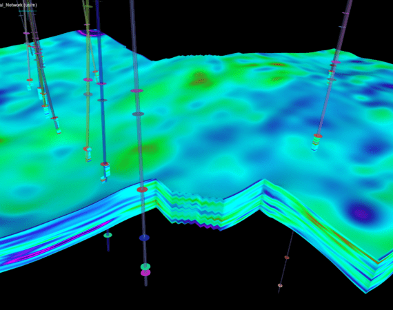
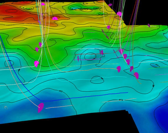
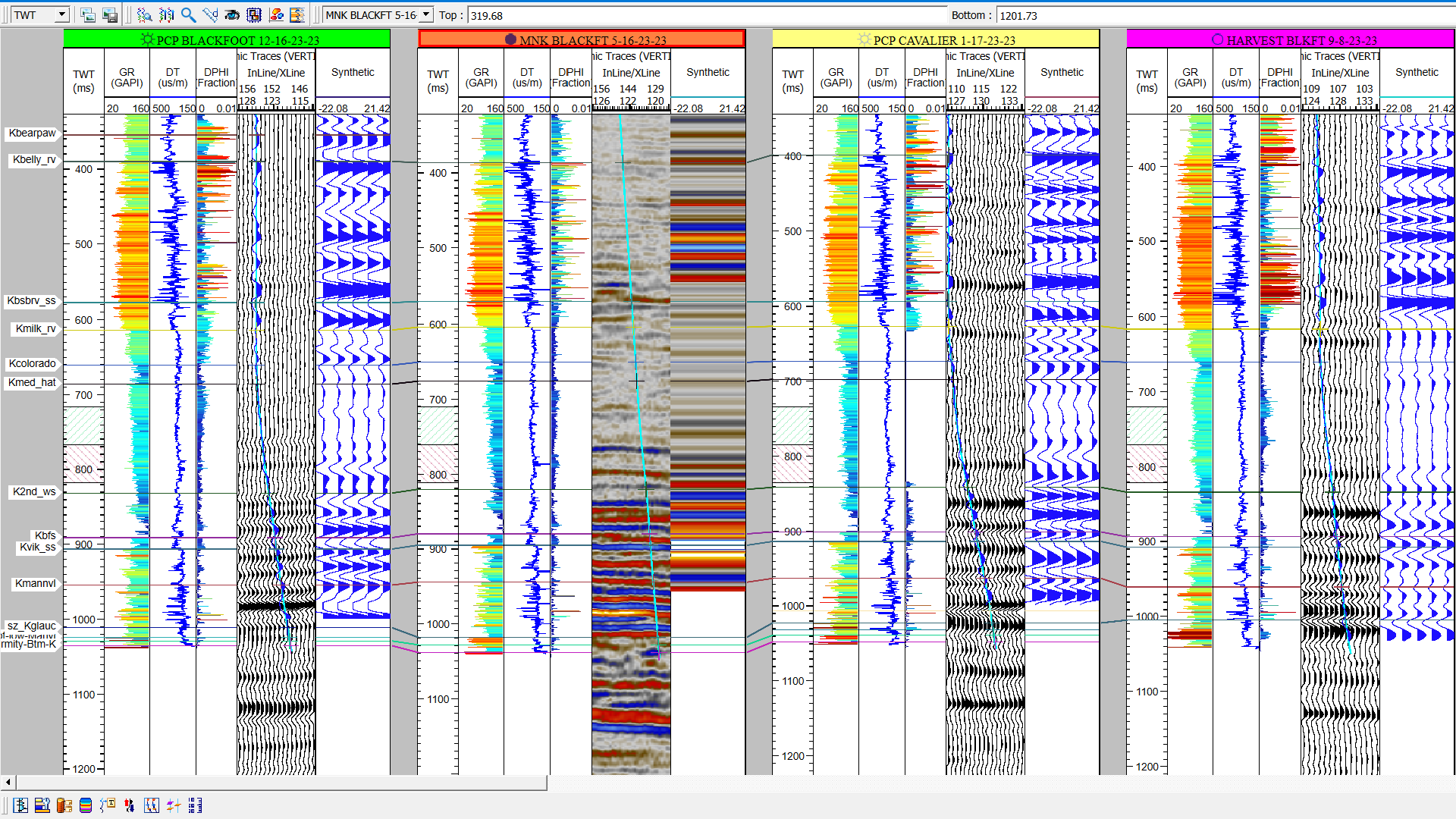
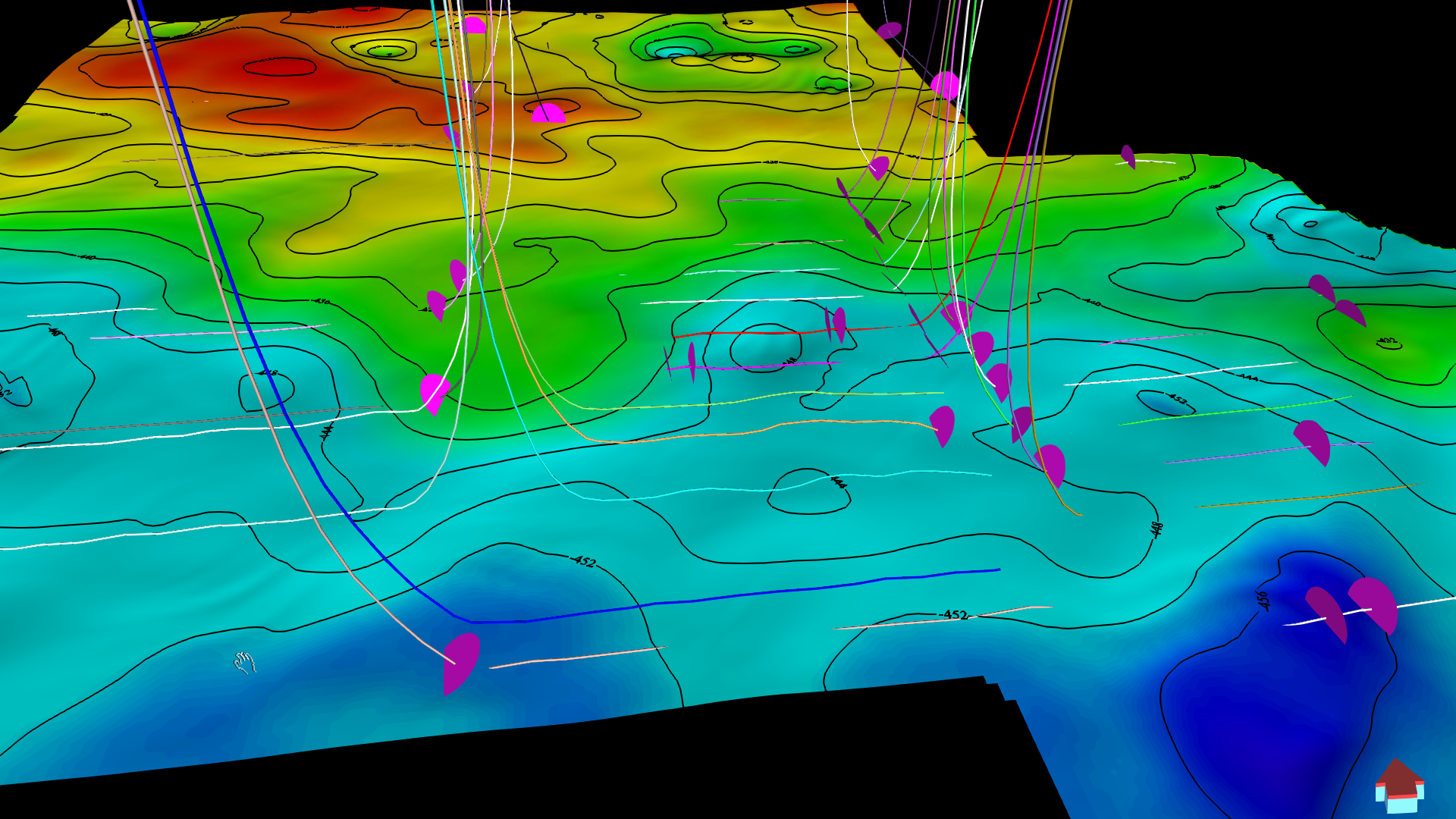
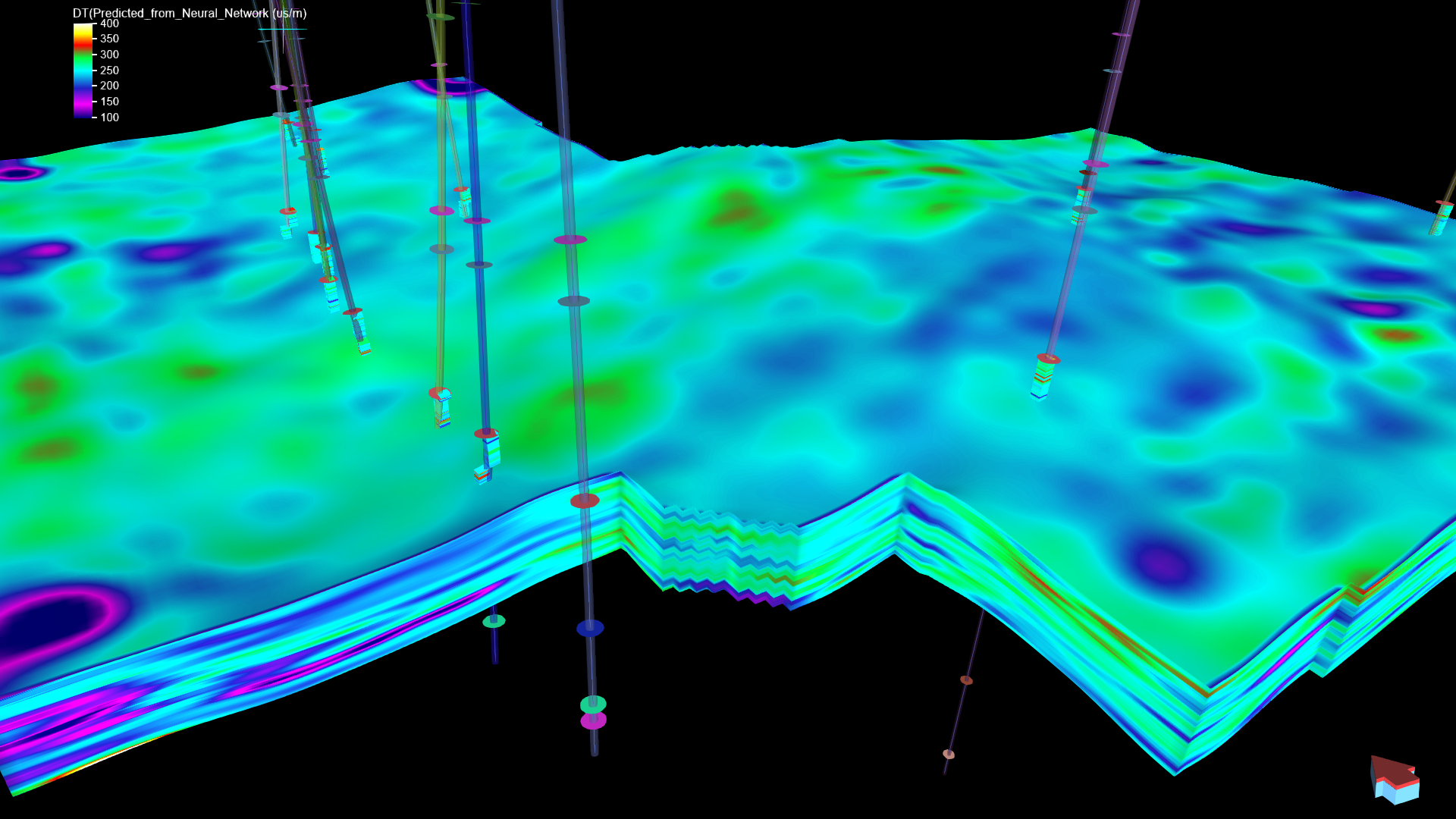
SubsurfaceAI for Geologists is an all-encompassing software package tailored to meet the needs of geologists in reservoir property estimation and well log data analysis. This robust package facilitates geological correlation, reservoir mapping, and the swift construction of 3-D reservoir models essential for OOIP or OGIP (Original Oil / Gas In Place) or production simulations. Integrating seamlessly with geophysicist tools within the SubsurfaceAI software, this package ensures a cohesive and efficient workflow for geology and geophysics professionals alike.
Key Features and Workflow
With SubsurfaceAI for Geologists, you can streamline your geological interpretation and reservoir modeling workflow through the following steps:
1. Project Initialization:
- Define geographic projections.
- Import well geometry, including well headers and directional surveys.
- Import well logs for comprehensive analysis.
2. Data Integration:
- Import existing well top picks, thickness measurements, and reservoir properties for each interval or well top.
3. 2-D Surface Grid Construction:
- Build 2-D surface grids of well tops or their properties (e.g., thickness maps, average NTG maps).
- Select the optimal interpolation algorithm (inverse distance, minimum curvature, or kriging) based on available data.
4. Geologic Correlation:
- Perform geologic correlations on well section windows.
- Interactively pick well tops and create facies logs using well logs and core data.
5. Interval Grid Analysis:
- Define interval grids using two tops or one top with thickness data.
- Upscale or block well logs to the interval.
- Select imported interval or formation properties as conditioning data for property grids.
- Conduct geostatistical data analysis, including histogram distributions and variogram models for each facies.
6. Strata-Grid Modeling:
- Define strata-grids using two or more well tops.
- Create layers based on user-defined rules (top conformal, bottom conformal, or proportional).
- Condition property models with well logs and core data, performing data analysis such as histogram distributions and variogram models.
- Generate multiple realizations or best estimates of each property using kriging or simple interpolation.
7. Build Reservoir Model Grids:
- Import existing reservoir model grids or build new ones within SubsurfaceAI.
- Continue property modeling workflows or create new grids using the same steps as strata-grid building.
- Upscale simulated property grids to flow grids for reservoir simulation, exporting them in ECLIPSE grdecl grid format.
8. Volumetric Calculation and Uncertainty Estimation:
- Calculate volumes and OOIP or OGIP for reservoir zones using multiple porosity and NTG realizations.
- Determine values at P25, P50, and P75 percentiles to assess uncertainty
Enhanced Integration with Seismic Data
SubsurfaceAI for Geologists offers advanced capabilities when seismic data is integrated into the project. With the appropriate license, you can:
- Extract seismic attributes and perform inversion directly to strata-grid or reservoir grid.
- Generate facies logs of selected wells through supervised or unsupervised classification algorithms in the machine learning module.
- Condition reservoir property estimations to available seismic data, significantly reducing uncertainty.
- Generate facies grids for strata-grid or reservoir grids, using user defined input properties or seismic inversion or attributes, through supervised or unsupervised classification algorithms in the machine learning module.
- Access InterpretationAI results within the same project for a comprehensive well-to-seismic solution.
This integrated approach ensures that SubsurfaceAI for Geologists provides a seamless, efficient, and powerful toolset for geological and reservoir modeling tasks, enhancing the accuracy and reliability of your subsurface analyses.
